

Illustrations vectorielles gps
28 illustrations gps dans 1 bibliothèque. Découvrez les illustrations et leurs sources.
Utilisez les illustrations selon la licence de leur source. Parcourez sans compte ; les collections que nous dessinons nous-mêmes se téléchargent avec un compte gratuit. Débloquez les illustrations payantes avec des étincelles ou accédez-y avec un abonnement Supporter ou Pro actif.
Symboles cartographiques
 SVG
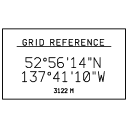
Latitude and longitude block 01
 SVG
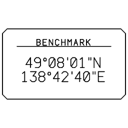
Latitude and longitude block 02
 SVG
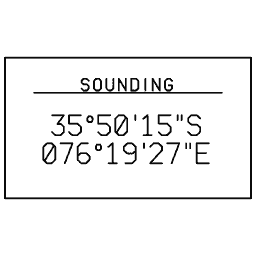
Latitude and longitude block 03
 SVG
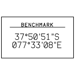
Latitude and longitude block 04
 SVG
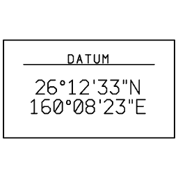
Latitude and longitude block 05
 SVG
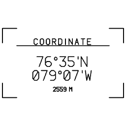
Latitude and longitude block 06
 SVG
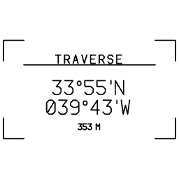
Latitude and longitude block 07
 SVG
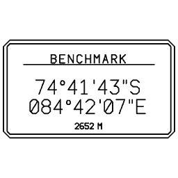
Latitude and longitude block 08
 SVG
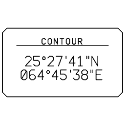
Latitude and longitude block 09
 SVG
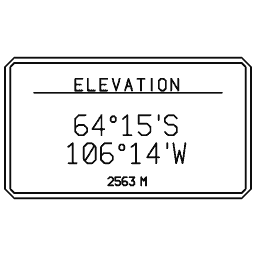
Latitude and longitude block 10
 SVG
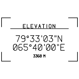
Latitude and longitude block 11
 SVG
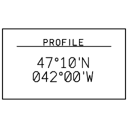
Latitude and longitude block 12
 SVG
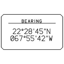
Latitude and longitude block 13
 SVG
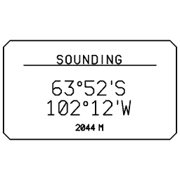
Latitude and longitude block 14
 SVG
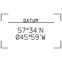
Latitude and longitude block 15
 SVG
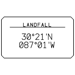
Latitude and longitude block 16
 SVG
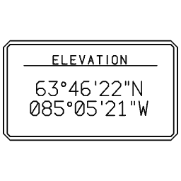
Latitude and longitude block 17
 SVG
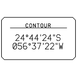
Latitude and longitude block 18
 SVG
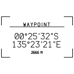
Latitude and longitude block 19
 SVG
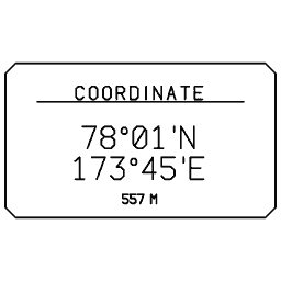
Latitude and longitude block 20
 SVG
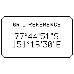
Latitude and longitude block 21
 SVG
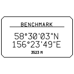
Latitude and longitude block 22
 SVG
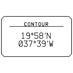
Latitude and longitude block 23
 SVG
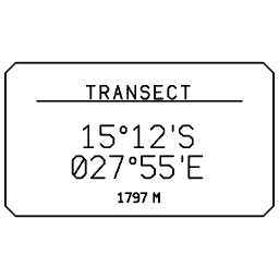
Latitude and longitude block 24
 SVG
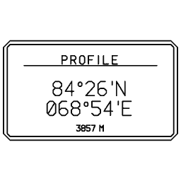
Latitude and longitude block 25
 SVG
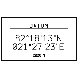
Latitude and longitude block 26
 SVG
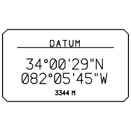
Latitude and longitude block 27
 SVG
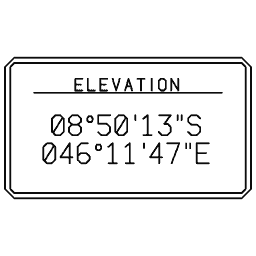
Latitude and longitude block 28
Suivez les nouveautés de MyLaserTools.
Envoyez-moi des e-mails sur les nouveaux outils, les mises à jour, les tutoriels et les offres occasionnelles de MyLaserTools. Désinscription possible à tout moment.
© 2026 MyLaserTools.com. Tous droits réservés.